

Preconstruction Survey Checklist for Estero Home Lots
A Florida lot can look ready for a custom home and still hold costly surprises below the surface or along its boundaries. A thorough preconstruction survey checklist turns unknown site conditions into design decisions before plans, engineering, and permit documents begin.
For Estero lot owners, the survey is more than a property-line sketch. It shapes the home footprint, finished-floor elevation, driveway location, drainage approach, utility connections, and outdoor living areas. Requirements vary by parcel, flood zone, jurisdiction, HOA, and project scope, so confirm current details with qualified Florida professionals and the applicable local authorities.
Start With the Parcel's Legal and Jurisdictional Details
Before ordering site work or refining a floor plan, confirm exactly what property you own and which rules apply. Much of Estero falls under Village of Estero authority, while Lee County records and countywide services may still affect your project.
Confirm the legal parcel and zoning district
A deed description, tax record, and old survey can conflict or leave questions unanswered. Ask a Florida-licensed surveyor and title professional to compare the legal description with the physical lot.
- Verify the parcel identification number, legal description, lot dimensions, and recorded plat.
- Confirm whether the site is within the incorporated Village of Estero or another jurisdiction.
- Identify the zoning district, overlays, and any special development approvals tied to the parcel.
- Request recorded plats, prior permits, and available site records.
Zoning standards can differ across districts. A setback that applies on one Estero lot may not apply on the lot across the street.
Review deed restrictions and HOA controls
An HOA can set requirements beyond local zoning. These rules may affect roof materials, exterior colors, fence types, driveway pavers, pool placement, landscape removal, and construction hours.
Ask for the current declaration, architectural review rules, and application timeline. A proposed home can meet public setbacks but still need changes before HOA approval.
Early coordination with custom home building services helps connect survey facts with the home design, structural engineering, and site budget.
Preconstruction Survey Checklist: Boundaries, Grade, and Features
A usable survey should give the architect, builder, and engineer an accurate picture of the lot. It must show more than corner pins.
Order the right survey scope
Discuss the home's expected size, pool, driveway, grading, and waterfront conditions before the surveyor starts. A basic boundary survey may not capture the information needed for custom-home planning.
- Verify lot corners, boundary lines, and encroachments.
- Obtain existing ground elevations and visible grade breaks.
- Locate buildings, fences, walls, sheds, driveways, utility boxes, poles, and drainage structures.
- Show canals, ponds, swales, culverts, retaining features, and water edges.
- Identify visible improvements on adjoining lots that may affect access or drainage.
In flood zones or near the coastal construction control line, local permit materials may call for a certified survey that shows flood zone information and existing land elevations. Confirm the needed format before commissioning the work.
Find the real buildable area
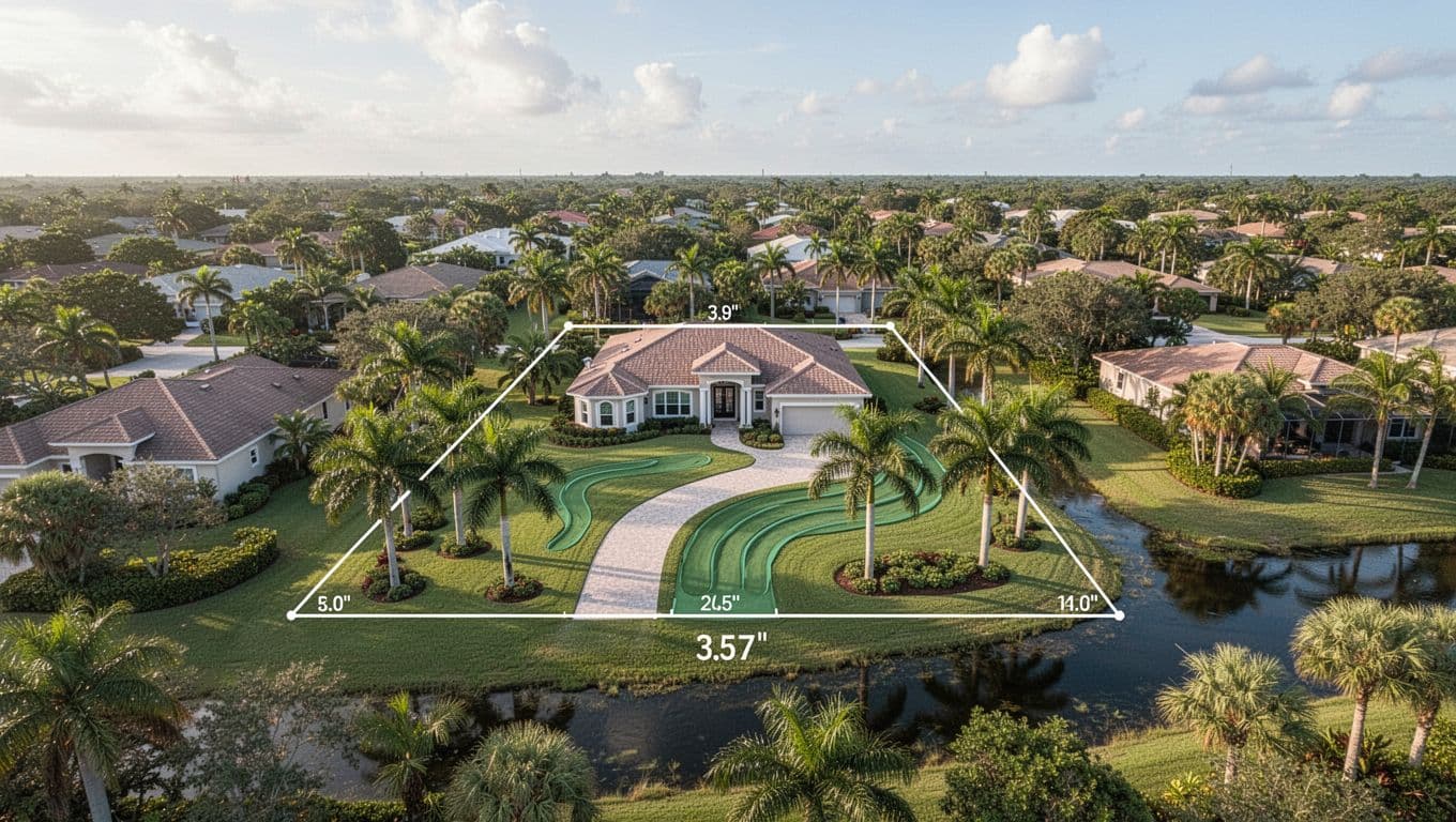
The lot's advertised dimensions do not equal its usable building area. Setbacks, easements, waterbody buffers, drainage features, and utility locations can narrow the envelope quickly.
Place the proposed house footprint on the survey before finalizing room layouts. That step reveals whether the preferred garage orientation, lanai depth, pool deck, and side-yard clearances can coexist.
A wide lot can still have a narrow buildable area when easements, water setbacks, and drainage corridors overlap.
Check Flood Maps and Finished-Floor Elevation Early
Flood conditions drive some of the biggest site and budget decisions in Estero. Review them before committing to slab height, garage elevation, fill quantities, or landscaping concepts.
Identify the mapped flood condition
The Village of Estero provides flood-map access for local properties. Zones A and V are high-risk areas with a 1% or greater annual chance of flooding, while other mapped conditions may still affect elevation and insurance decisions.
- Confirm the current FEMA flood zone for the exact parcel.
- Check whether any portion of the lot falls within a regulatory floodway.
- Ask whether prior elevation certificates or flood-related permits exist.
- Review the base flood elevation and any local elevation standards that apply.
- Identify whether the site has a canal, pond, wetland, or drainage feature nearby.
For structures built before May 9, 2016, elevation-certificate records may be available through Lee County rather than the Village. That history can help, but it should not replace current site verification.
Set elevation before architecture hardens
Finished-floor height affects every exterior element. It can change front steps, driveway slope, garage entry, pool elevations, porch proportions, and how the home meets the yard.
Village flood materials state that Ordinance 2022-13 requires livable floor area to sit one foot above the crown of the road for construction in a designated X Flood Zone. Conditions and interpretations can change, so confirm the standard for your parcel with Village staff, the design team, and the project engineer.
If a lot falls in a regulatory floodway, disturbance, fill, or new construction may require a signed and sealed No-Rise or No-Impact Certification. Address that question before choosing a large footprint or extensive grade changes.
Map Easements, Setbacks, and Access Before Layout Decisions
A boundary line is not a build line. Recorded utility, drainage, access, conservation, or private easements can limit where a home, pool, fence, or detached structure may go.
Put every restriction on the site plan
Lee County permit guidance calls for plot plans to show setbacks, easements, driveway placement, structure outlines, and septic components where applicable. That level of detail is useful well before permit submittal.
- Obtain the title commitment and all recorded easement documents.
- Plot utility, drainage, access, and conservation easements on the survey.
- Confirm front, rear, and side setbacks for the zoning district.
- Check waterbody and surface-water-management setbacks where present.
- Mark sight-line, gate, and driveway constraints near the street.
Don't assume an old fence marks the property edge. Likewise, don't place a pool cage or outdoor kitchen on the assumption that a drainage easement is inactive.
Decide the home's orientation with purpose
Once the buildable area is clear, choose the home orientation around daily use. In Southwest Florida, this decision affects afternoon sun, lanai comfort, views, privacy, garage placement, and solar exposure.
A rear-facing western lanai may offer dramatic sunsets, but it also needs a thoughtful shade strategy. Meanwhile, shifting the footprint a few feet may protect a mature tree, create better pool clearance, or avoid a utility corridor.
Verify Utilities, Septic, and Drainage Capacity
Utility availability changes both the site plan and the construction sequence. Confirm service locations and connection details early, especially on vacant or lightly improved lots.
Document water, sewer, well, and septic conditions
Some parcels connect to public water and sewer. Others may depend on a private well, septic system, or a mix of existing and planned infrastructure.
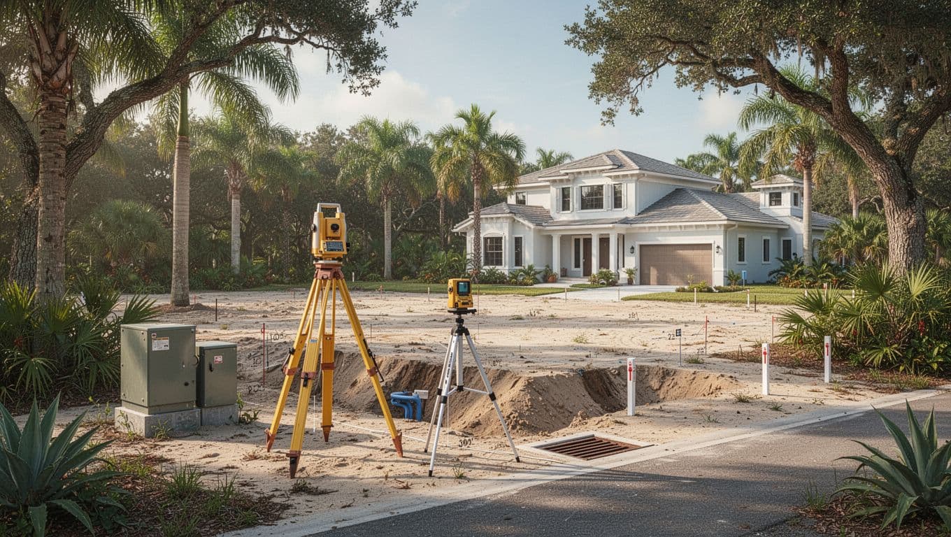
- Confirm public water and sewer availability, connection points, and service responsibilities.
- Locate existing meters, mains, cleanouts, valves, and overhead or underground lines.
- Identify any existing well and ask about inspection requirements.
- If septic is proposed, reserve suitable space for the tank and drainfield.
- Coordinate utility routes with the driveway, pool, landscaping, and future outdoor features.
Lee County guidance states that well and septic documentation can be part of the building process on applicable properties. The exact path depends on the parcel and proposed system.
Treat drainage as a design issue
Florida's intense rain events expose weak site drainage quickly. Existing swales, inlets, drainage easements, canal edges, and neighboring grades all matter.
Avoid solving drainage late with improvised grading. The civil or site engineer should evaluate how roof runoff, driveway grades, pool decks, and fill will work with the surrounding drainage pattern. Fill or grading in floodplain areas may also trigger additional review.
Review Environmental and Soil Conditions
Trees, wetlands, water, and soil can influence design freedom as much as recorded setbacks. These conditions are not identical from one Estero parcel to the next.
Screen for wetlands and protected features
A wetland delineation, environmental review, or agency coordination is not universal for every lot. However, these steps may be necessary where wetlands, jurisdictional waters, surface-water work, dredge or fill, or conservation areas are involved.
- Walk the site with the survey and look for wetland vegetation, water features, and drainage connections.
- Review conservation easements and preserve areas in title documents.
- Ask whether proposed clearing, grading, or shoreline work needs environmental review.
- Confirm tree-removal and replacement rules with the applicable jurisdiction and HOA.
- Identify whether outside agencies may have a role before work approaches wetlands or waters.
South Florida Water Management District and U.S. Army Corps of Engineers review can be project-dependent. A qualified environmental professional can identify whether the planned work raises those issues.
Test soil before setting the foundation approach
A geotechnical report is not a blanket requirement for every residential lot, yet it can provide useful information when soil conditions, fill, unusual grades, or engineering questions exist. The home's structural engineer should receive the findings early enough to use them.
Site preparation may require compaction testing and engineered fill based on the lot's conditions. Those costs belong in the preconstruction budget, not in a late construction change order.
Make These Decisions Before Plans Are Finalized
The strongest preconstruction survey checklist does more than collect documents. It forces decisions while changes are still affordable on paper.
Lock the site choices that affect the whole home
Before architectural plans reach the final stage, the owner, builder, architect, surveyor, and engineers should agree on the basic site strategy.
- Select the home footprint and orientation within the verified buildable area.
- Establish the target finished-floor and garage elevations.
- Reserve room for the driveway, pool, lanai, equipment pads, and service access.
- Choose utility and septic locations where applicable.
- Set a drainage and grading approach that respects existing conditions.
- Confirm the HOA review path and anticipated public approval steps.
A survey finding can change the house in useful ways. Moving the garage, shortening a wing, raising the finished floor, or adjusting the pool layout is far easier before structural plans are complete.
A Survey-Led Start Builds a Better Estero Home
The best custom homes fit their lots rather than fighting them. A complete preconstruction survey checklist gives your team the facts needed to place the home wisely, manage elevation and drainage, and protect the features that matter to your family.
Confirm each item against current parcel records, local rules, HOA documents, and professional advice. When the survey leads the design process, the finished home has a stronger foundation on paper and on the ground.